


My phone died at dusk on a solo hike last fall and I panicked. SkyTrace Nav locks onto satellites in seconds with zero signal search, and I don't hike without it now.
Daniel FosterVerified Buyer

Order today and it ships by -
Couldn't load pickup availability
We offer free shipping for all orders. Once your item/s is dispatched,
the estimated delivery time is:
- USA: 2-9 business days
- UK: 5-13 business days
- Australia: 5-13 business days
- Canada: 2-12 business days
- Europe: 5-13 business days
You have 90 days to return your product for a full refund (return shipping is covered by the customer; defective items ship a free replacement).
This product is not available on Amazon or eBay. You are purchasing directly from the only authorized seller — which means full warranty, verified authenticity, and dedicated customer support. Beware of counterfeit listings on third-party marketplaces.


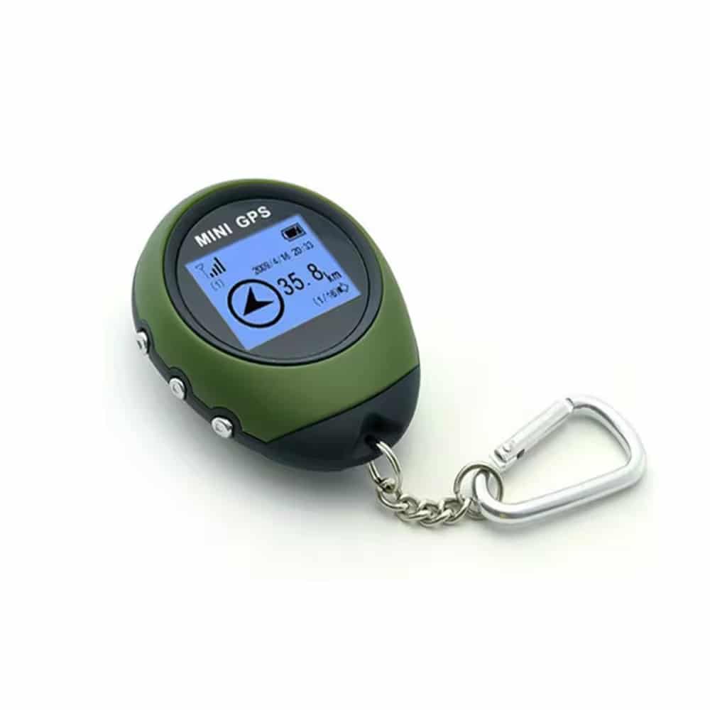


SkyTrace Nav locks onto satellites directly, bypassing cell towers entirely. It keeps navigating exactly where phone signal and apps give out.
See your exact longitude, latitude, and altitude the instant you power on. SkyTrace Nav holds a steady fix within 5 to 10 meters, no phone required.
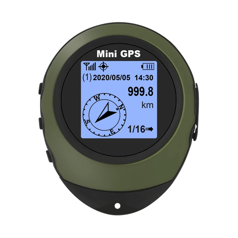
Save up to 16 waypoints to map multi-day trails before you leave home. Switch between destinations with a single button press on the trail.
Engineered for -20°C to 55°C, hard impacts, and heavy rain without missing a beat. No AA batteries to corrode or leak, just years of trail use.
Based On Real and Honest Experiences
My phone died at dusk on a solo hike last fall and I panicked. SkyTrace Nav locks onto satellites in seconds with zero signal search, and I don't hike without it now.
Tracking a wounded buck into thick brush at last light, I needed something simple that worked. SkyTrace Nav marked my truck as a waypoint and got me straight back in the dark.
I bought SkyTrace Nav for my teenage son before his first solo hikes on local trails. It doesn't need my cell plan or a signal to work, and the battery outlasts his phone every single time, so I finally stopped worrying.


 +347 experts reviewed it
as the best choice in 2026
+347 experts reviewed it
as the best choice in 2026

Ready to make it yours?
Get SkyTrace Nav at today's price with your free gift included — and a full 90 days to enjoy it.
 Your free gift: Emergency Mylar Survival Blankets (4-pack)
FREE
Your free gift: Emergency Mylar Survival Blankets (4-pack)
FREE